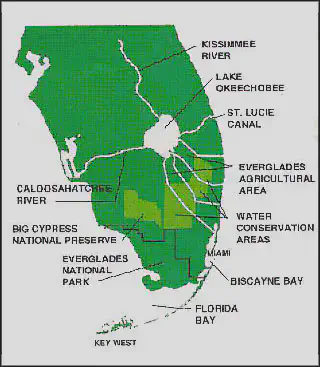
Study Area
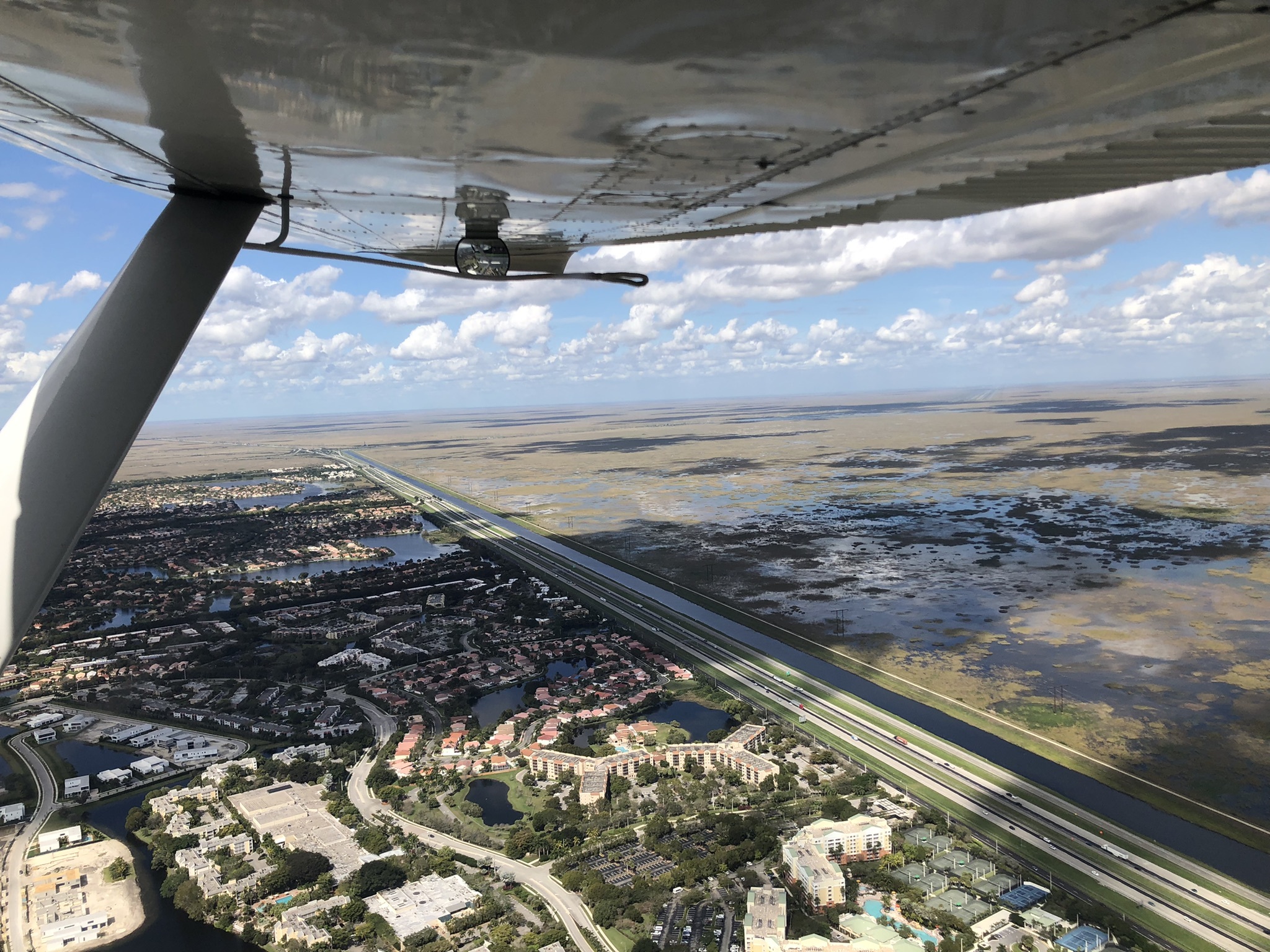
Historically, the headwaters of the Greater Everglades Ecosystem began just south of Orlando in the southward flowing Kissimmee River system. During the heavy rains of summer, the river would flow into Lake Okeechobee which would then spill water over its southern bank. Coupled with south Florida’s extremely flat topography, this created a 60 mile wide and 100 mile long slow-flowing river, which eventually discharged into Florida Bay.
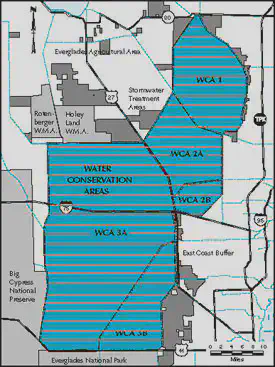
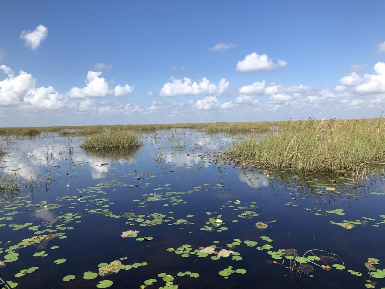
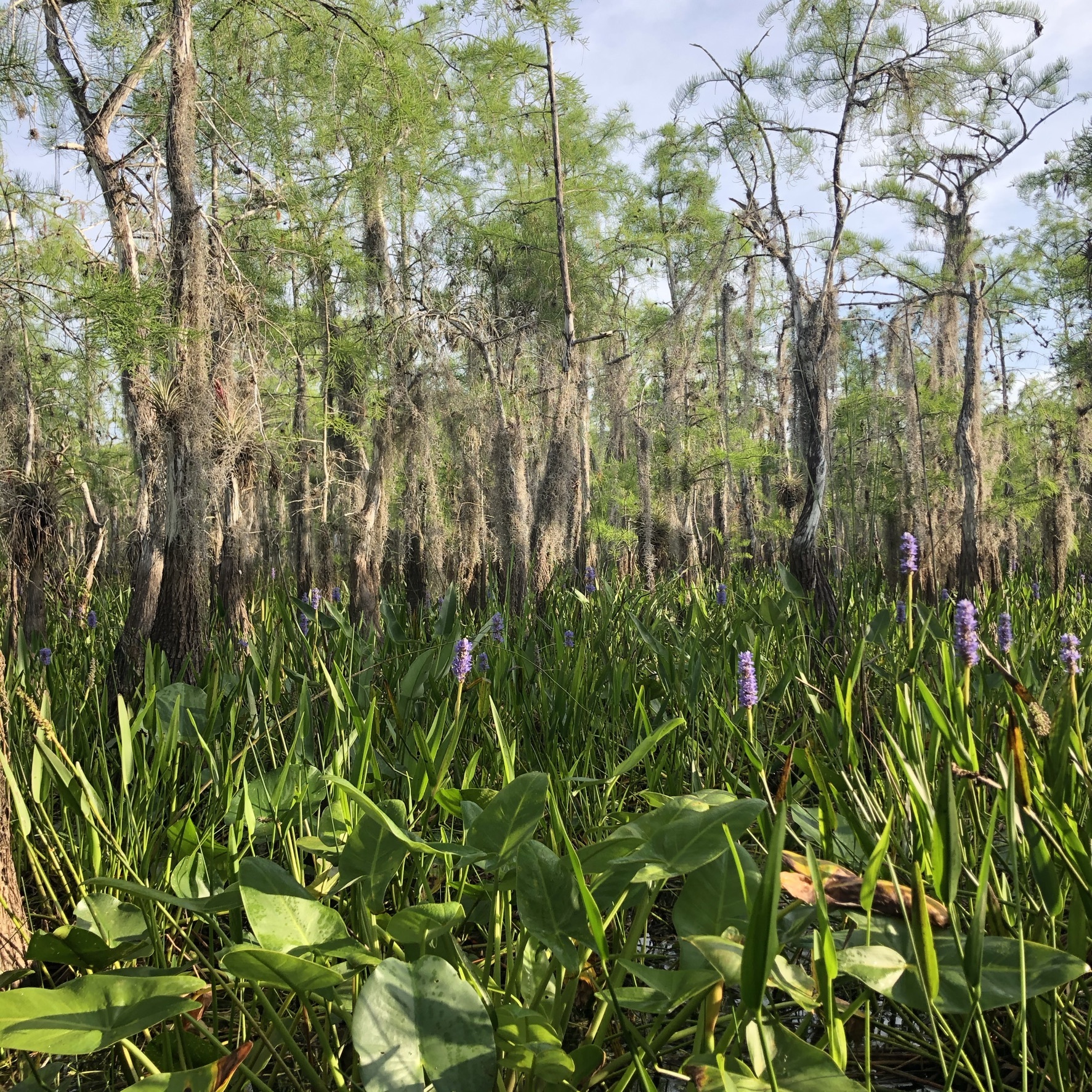
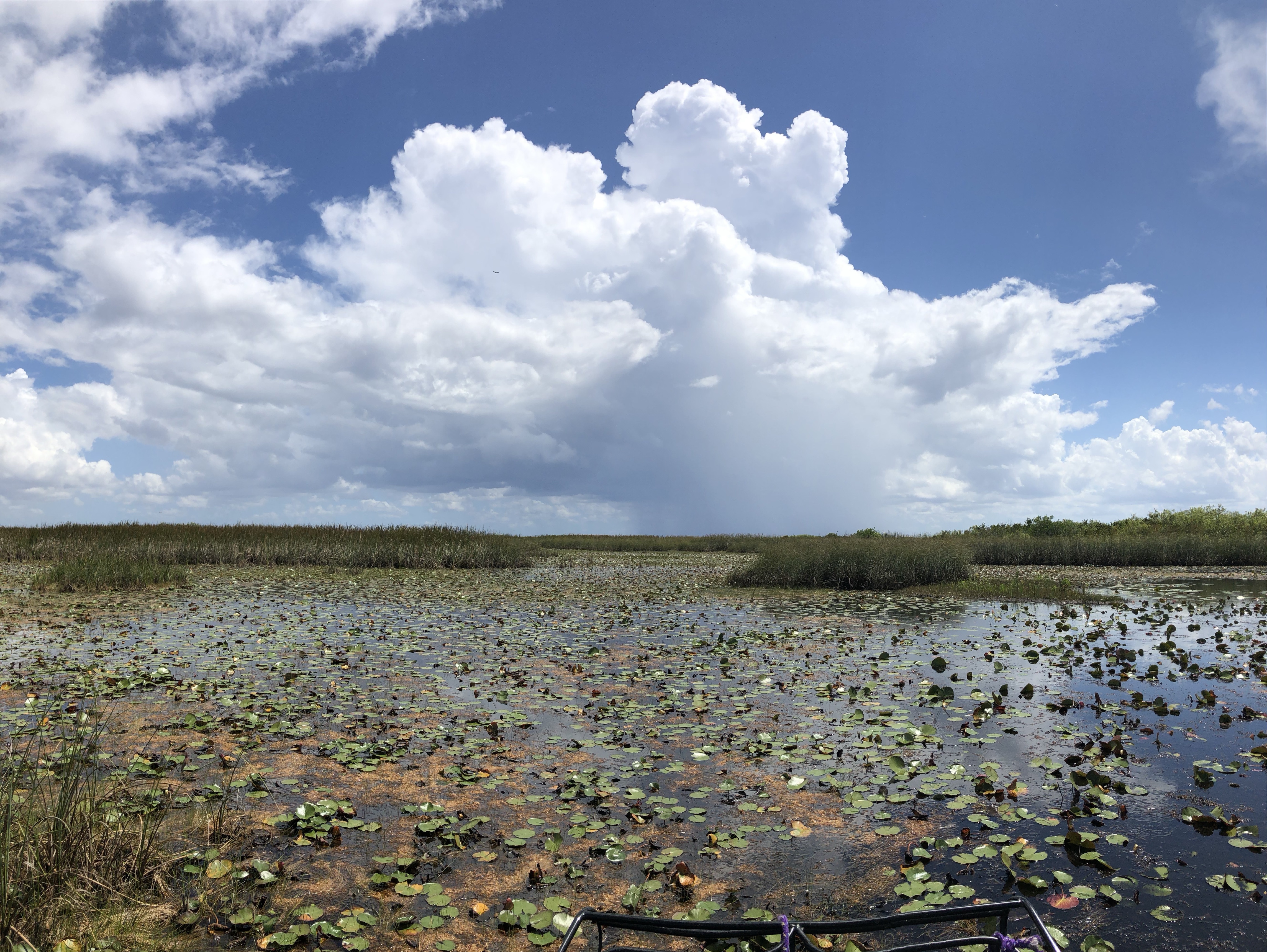
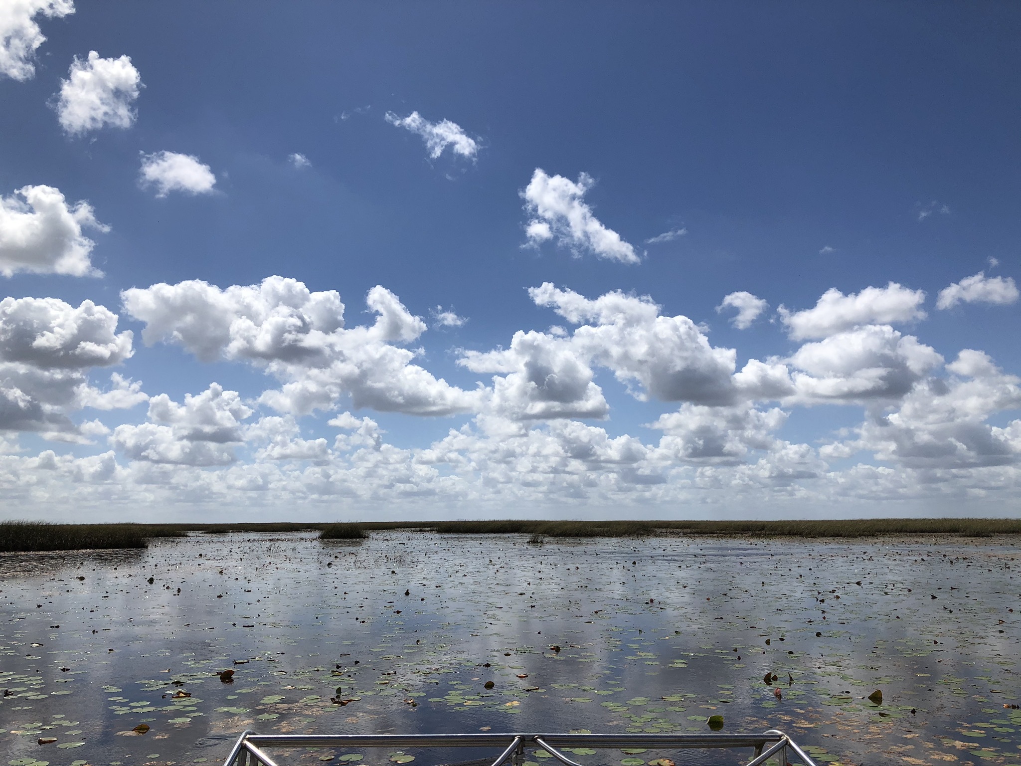
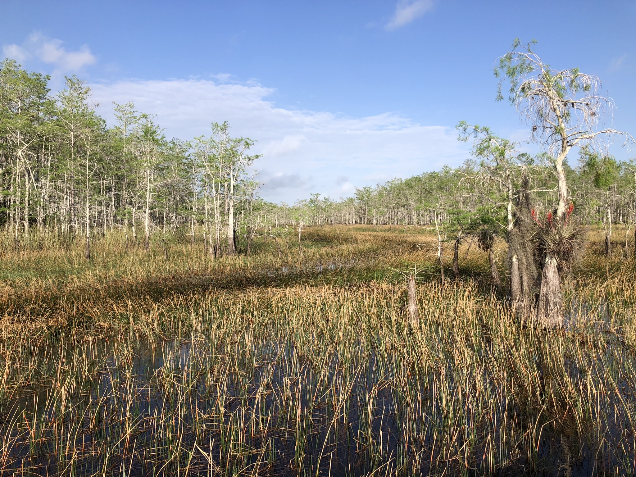
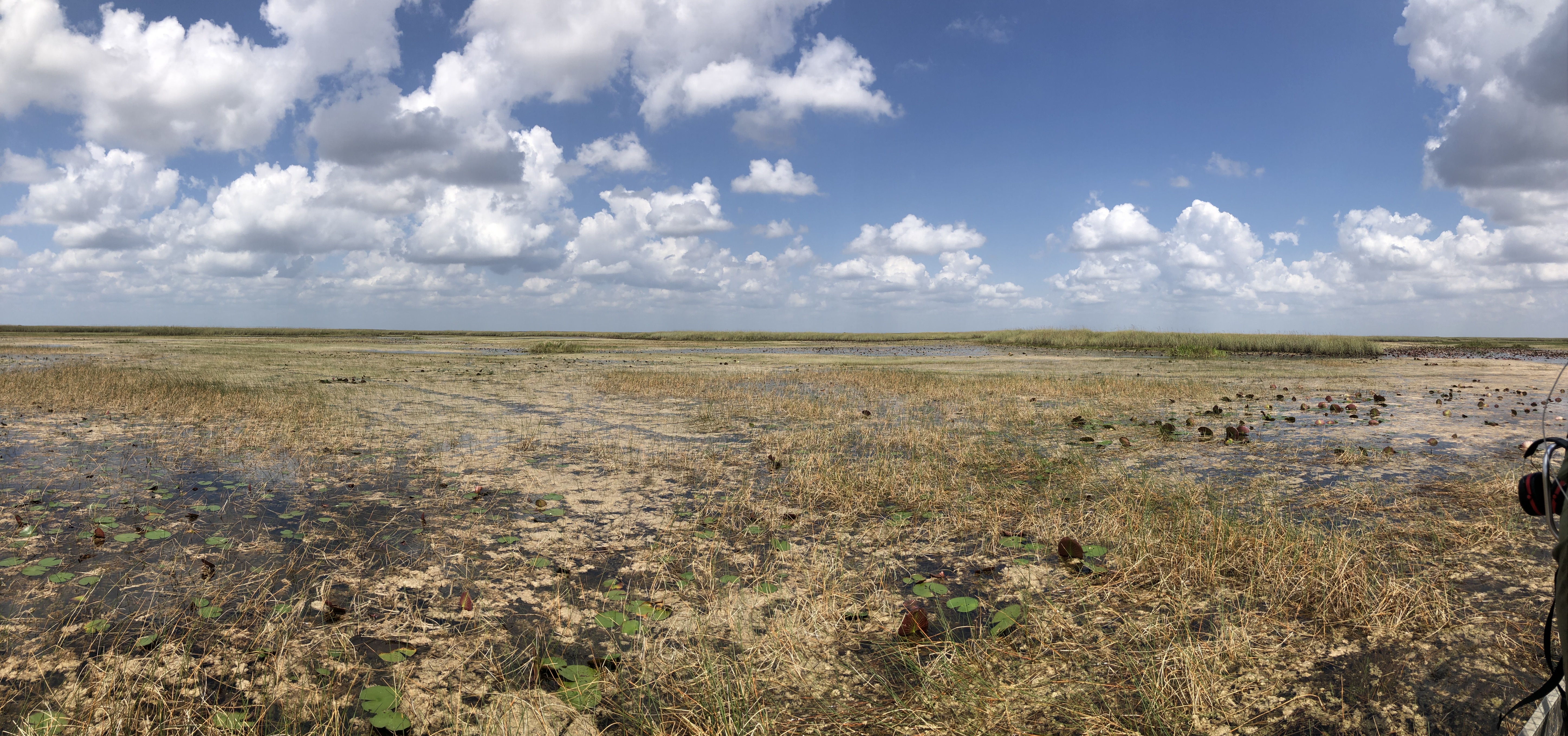
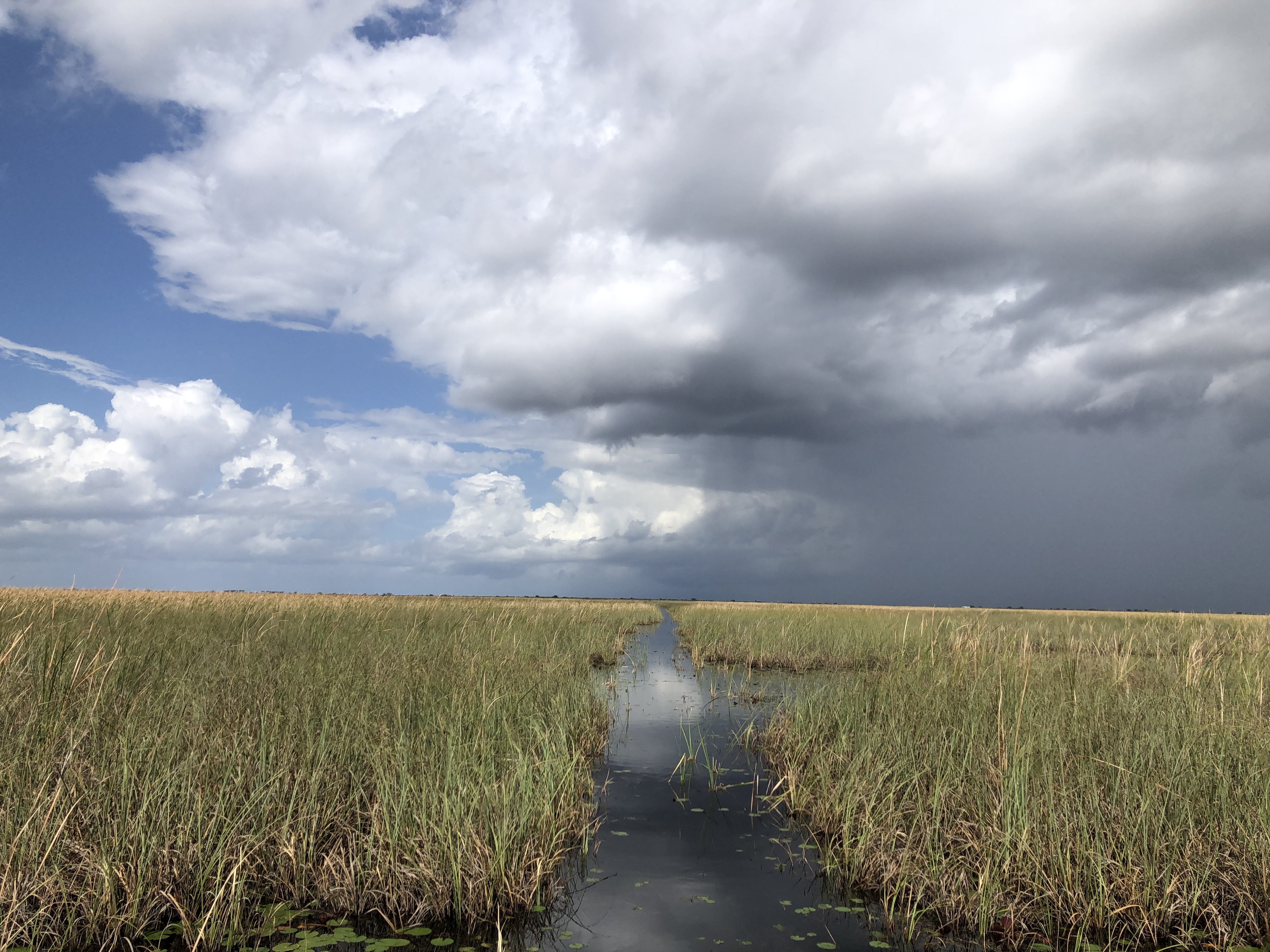
In the last century, attempts to drain the Everglades have forever altered its hydrology. With additional habitat loss from development and agriculture, only one third of the original Everglades exist today. Still, the mainland Everglades covers approximately 15,000 square miles and represents the largest roadless area in the United States south of Alaska. Many state and federal agencies now manage the water resources of the Everglades. Broad geographic regions of the southern Glades are mostly broken into Big Cypress National Preserve (1,200 square miles), Everglades National Park (2,300 square miles), and Water Conservation Areas 1, 2, and 3 (1,300 square miles). Our research is conducted primarily in the Water Conservation Areas shown below. These areas are dominated by large sawgrass ridge and water-lily sloughs. Willow head tree islands dot the terrain, and cypress domes encroach along the western fringe. Layers of peat cover soft limestone rock, and apart from man-made deep canals, the shallow waters of the marsh can only be accessed via airboat.
South Florida also has a unique subtropical climate with a traditional wet season (June-October) and dry season (November-May). As the waters slowly recede in the dry season, wading birds arrive by the thousands to capitalize on a buffet of fish and other prey items concentrated in shallow pools of water. This wealth of food prompts wading birds to form large breeding colonies in tree islands and cypress domes throughout the WCA’s.